10 Burial Ground
Browns Road

The Stanley Burial Ground is the final resting place of many important figures in Stanley’s history.
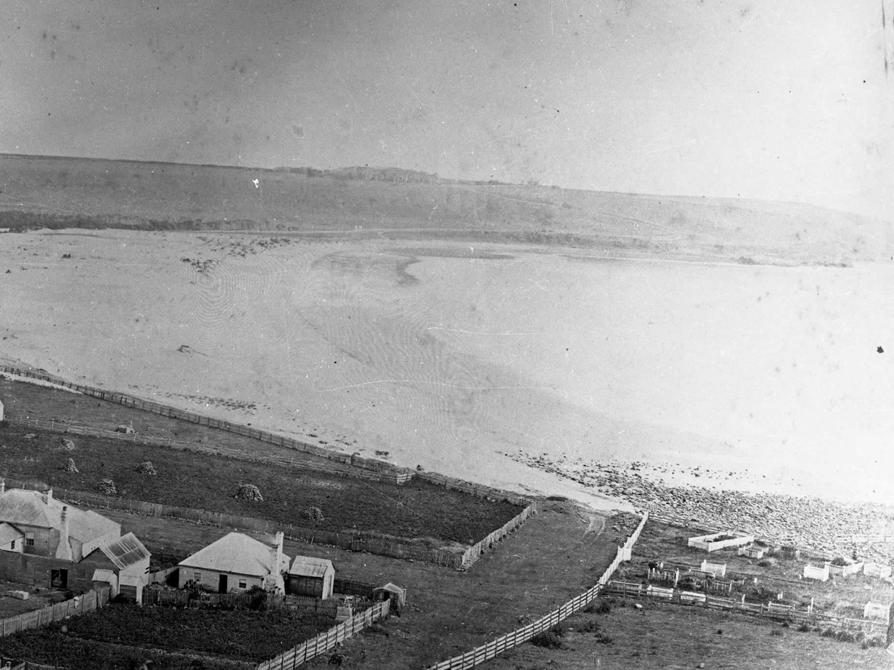
It nuzzles up to The Nut with views over ‘the top beach’ at Godfrey’s, where surfing carnivals were once held, and on over Green Fields to Highfield House. You will find, if you open the latch on the white picket gate, and stroll through the grounds at your own pace, that many well known pioneer and settler families rest in this historic cemetery in the shade of two old Norfolk Island pines.
The most famous tombstones bear the names of colonial architects John Lee Archer and Henry Hellyer, as well as surveyor James Gibson who surveyed most of the town in the 1830s and 40s. These gentlemen, who helped develop the Van Diemen’s Land Company, are remembered humbly. Meg would tell you to tread carefully as you walk through the grounds; there might be plovers’ nests around.
Norfolk Island pines are also planted along the road to Highfield House, home to the chief agent of the VDL settlement, which began in 1825 on 250,000 acres granted under Royal Charter by George IV. Highfield House is now managed by the State Government and is open to the public. And while these days the Van Diemen’s Land Company is based further west of Stanley, at Woolnorth, it is believed to be the only Charter Company still operating on part of its original land grant.
Listen
Listen to the story of this location while you walk
View Map
Explore the Stanley Heritage Walk route on our map of the region
Image gallery
Images gathered from Meg’s personal albums and other historical sources

- ../../../assets/gallery/large/10/10-headstone-of-pioneer-explorer-henry-hellyer.jpg

- ../../../assets/gallery/large/10/10-burial-ground-f57-2009652216.jpg
- ../../../assets/gallery/large/10/10-burial-ground-f57-2009652215.jpg
- ../../../assets/gallery/large/10/10-busy-godfreys-beach-c1910.jpg
- ../../../assets/gallery/large/10/10-crowd-watching-surf-carnival-godfreys-beach-c1955.jpg
- ../../../assets/gallery/large/10/10-godfreys-beach-1858.jpg
- ../../../assets/gallery/large/10/10-godfreys-beach-c1910.jpg
- ../../../assets/gallery/large/10/10-ab713111846-johnleearcher-map-1843-part1.jpg
- ../../../assets/gallery/large/10/10-ab713111846-johnleearcher-map-1843-part2.jpg
